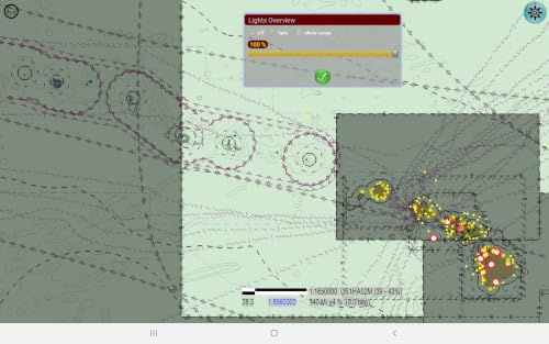


plots GPS location display ENCs as an overlay on Google maps easily download charts directly from NOAA uses only the actual S-57 compliant ENC files on your device does not create or use a derived or proprietary ENC database you can designate your own chart folders, which can be treated as layers for display purposes includes a floating/resizable file system browser (almost an app in itself) displays current weather and sea conditions, tide predictions and water level measurements